|
Watershed Scale Geospatial Assessment for NRCS Conservation Practices Using Biogeophysical Hydrological Modeling and Novel UAV-Based Data Collection Techniques |
|
The natural growth of the population inevitably leads to rapid urbanization, converting forest and farming lands into urban lands. Urban growth-driven land-use change significantly influences the surface heat balance and exchange of water vapor and momentum between the atmosphere and the surface layer. For example, urbanization increases the proportion of impervious land cover, and as urbanization and impervious surface increase, the volume and velocity of surface runoff increase, infiltration and groundwater recharge decrease, and water tables drop, leading to increased flooding, in addition to soil erosion and water quality deterioration. Land-use change also plays a vital role in the climatic system by means of biogeophysical effects, which manifest the transformation of physical features of the earth surface such as roughness, surface albedo, soil moisture, and vegetation coverage and structure, and influence the radiation, heat and moisture exchange processes between the surface and the atmosphere. These effects directly result in the change of surface temperature and precipitation.
The goal of this project is to provide technical assistance for watershed assessment of a 12-digit HUC watershed in Mississippi. During the next 50 years, agricultural intensification and expansion will continue further in response to the increasing human population and the increasing prosperity of a significant part of the human population. Intensification of agriculture generally will lead to imbalances in nutrient budgets, especially for nitrogen, which will shift in scale from local to regional and continental dimensions. Our goal is to understand the link between the physical structure of the soil and the nutrient fate and transport to reduce nutrient loading while maintaining agricultural productivity. The maximum contaminant level (MCL) of nitrate by USEPA is 10 mg N/L (or 45 mg/L nitrate), which is also the federal standard for nitrate in drinking water. The nitrate concentration in surface water is normally low (i.e., 0-18 mg/L). However, it may reach high levels because of agricultural runoff, refuse dump runoff or direct contamination with human or animal wastes. Reducing nitrogen loading and sustaining agricultural production are key for meeting watershed nutrient reduction goals.
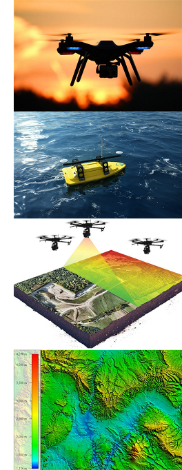
The objectives of this project include: 1) use a fully customizable UAV to measure soil nutrients in real-time with a resolution up to 9 sq. cm per pixel to generate the nutrient mapping for the grazing lands, 2) hydrological and biogeophysical modeling using SWAT with the help of currently available data sets, 3) development of Artificial Intelligence (AI)-based decision support system for watershed-scale conservation priorities, 4) formulation of guidelines to address the impact to surface water bodies and the surrounding environment for conservation practices, and 5) providing technical assistance, outreach, and education to stakeholders. |